Generador de Ilustraciones de Mapas Meteorológicos
Genera mapas meteorológicos detallados y visualmente atractivos con ubicación, fecha, hora y elementos climáticos personalizados
Mapa del tiempo
Tu mapa meteorológico generado aparecerá aquí
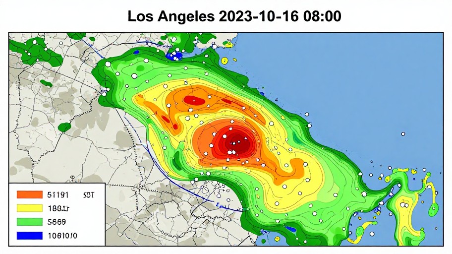
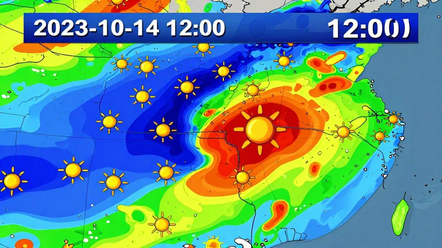
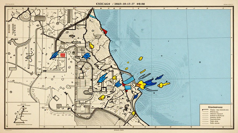
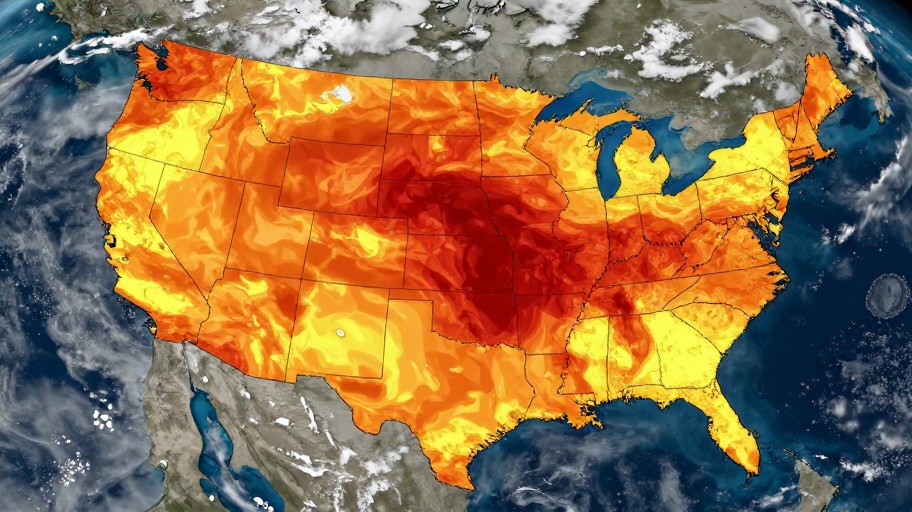
Weather Map Illustration Generator Examples
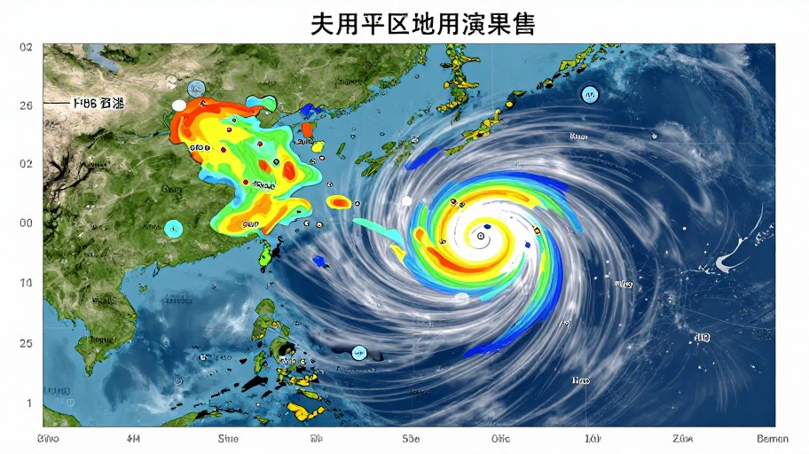
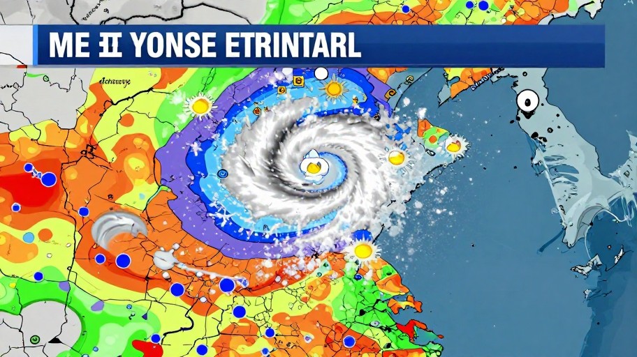
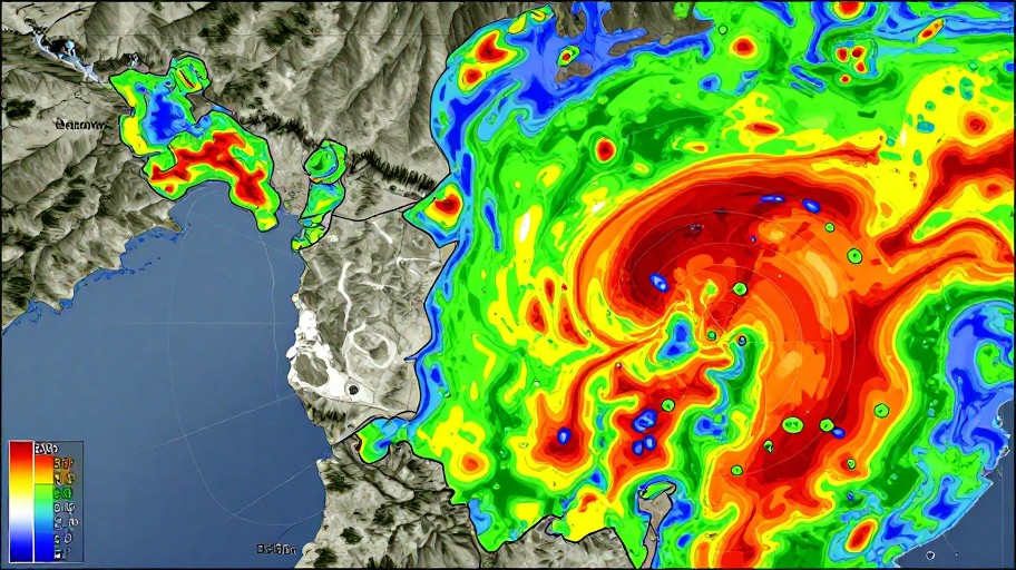
Mira lo que otros han creado

Cómo Empezar
Introduce la Ubicación y Fecha
Ingresa la localización que deseas visualizar, junto con la fecha y hora específicas para tu mapa meteorológico personalizado.
Selecciona Elementos del Clima
Elige los elementos meteorológicos que quieres incluir: temperatura, precipitación, vientos, presión atmosférica, y personaliza el esquema de colores.
Genera y Descarga
Haz clic en generar y obtén tu mapa meteorológico profesional listo para descargar y usar en presentaciones, informes o redes sociales.
Características Principales
Personalización Completa
Elige diferentes elementos meteorológicos, añade iconos específicos y selecciona esquemas de colores que se adapten perfectamente a tus necesidades.
Generación Automática
Nuestra inteligencia artificial crea mapas meteorológicos detallados y visualmente atractivos en segundos, sin necesidad de conocimientos técnicos.
Descarga en Alta Resolución
Obtén tus mapas meteorológicos en formatos de alta calidad, perfectos para uso profesional, educativo o en medios de comunicación.
Mapas Históricos y Futuros
Crea ilustraciones meteorológicas para fechas pasadas, presentes o futuras, ideal para análisis climáticos y presentaciones predictivas.
Diseño Profesional
Mapas con aspecto profesional que incluyen leyendas, escalas de colores y símbolos meteorológicos estándar reconocidos internacionalmente.
Resultados Instantáneos
No más esperas largas. Genera tus mapas meteorológicos ilustrados al instante y comienza a usarlos de inmediato en tus proyectos.
Preguntas Frecuentes
¿Cómo creo un mapa meteorológico?
¿Puedo personalizar el informe meteorológico?
¿El generador de mapas meteorológicos es gratuito?
¿En qué formatos puedo descargar los mapas?
¿Listo para Comenzar?
Crea mapas meteorológicos profesionales en segundos. Gratis, ilimitado y sin conocimientos técnicos necesarios.