Random Topographic Map Generator
Create detailed topographic maps with custom contour lines for any terrain or location
Topographic Map
Your generated content will appear here
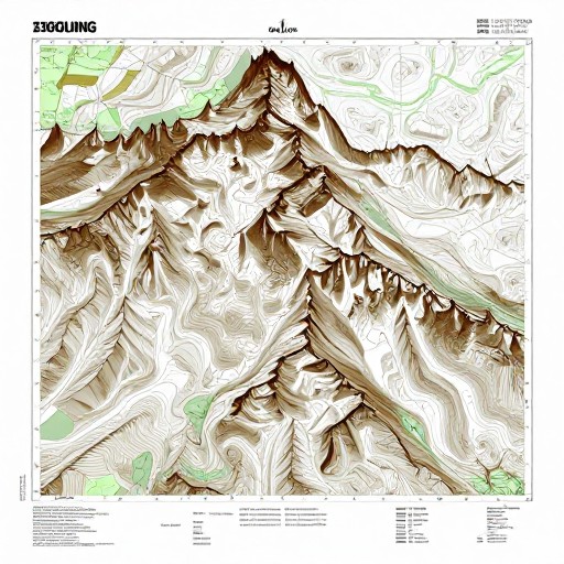
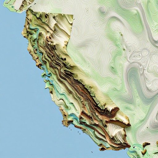
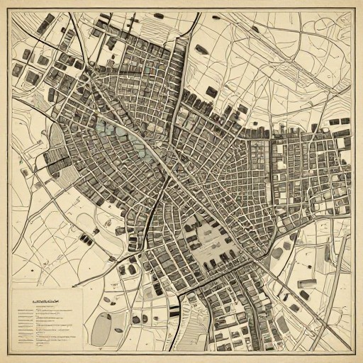
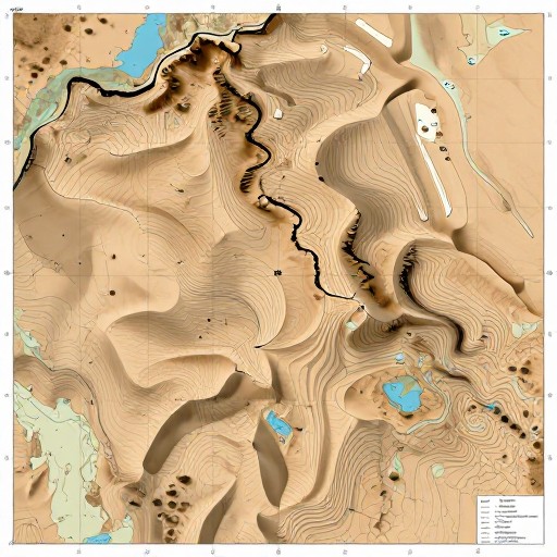
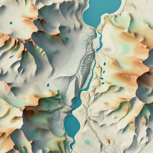
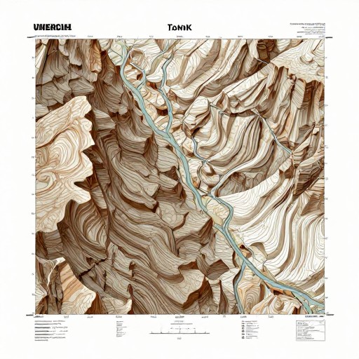
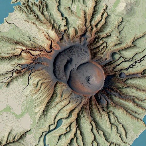
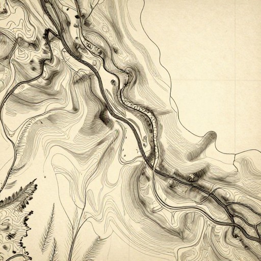
Random Topographic Map Generator Examples
See what others have created
Related Coding Tools
How to Get Started
Simple steps to create amazing results
Set Your Parameters
Choose your map dimensions, elevation range, and terrain complexity. Adjust settings like contour intervals and feature density to match your needs.
Generate Your Map
Click generate and watch as our algorithm creates a unique topographic map with realistic elevation patterns, contour lines, and natural terrain features.
Download & Use
Export your map in high resolution PNG or SVG format. Use it for worldbuilding, game design, educational purposes, or creative projects.
Main Features
Powerful capabilities at your fingertips
Realistic Terrain Generation
Advanced algorithms create natural-looking elevation patterns, mountain ranges, valleys, and realistic topographic features with accurate contour lines.
Customizable Parameters
Control elevation ranges, contour intervals, map scale, terrain roughness, and feature density. Add rivers, peaks, and other geographic elements to your maps.
Multiple Export Formats
Download your topographic maps in high-resolution PNG or scalable SVG formats, perfect for printing, digital use, or further editing.
Unlimited Variations
Generate as many unique topographic maps as you need. Each map is randomly created with different terrain patterns and elevation profiles.
Instant Results
No waiting or complex software needed. Generate professional-quality topographic maps instantly in your browser with just a few clicks.
Style Options
Choose from different color schemes and visual styles including classic contour maps, elevation heatmaps, and traditional cartographic designs.
Frequently Asked Questions
Everything you need to know
How do I create a contour map?
Can I generate topographic maps with specific features?
Is there a free version available?
What can I use these topographic maps for?
Can I customize the contour interval and elevation range?
What format are the generated maps?
Ready to Generate Your Topographic Map?
Create unlimited realistic terrain maps in seconds. Perfect for games, design, and creative projects.