Fantasy Map Generator Ai
Create stunning fantasy maps for your D&D campaigns and fictional worlds with AI-powered precision
Fantasy Map
Your generated content will appear here
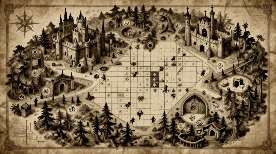
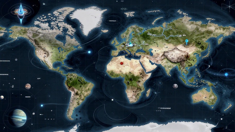
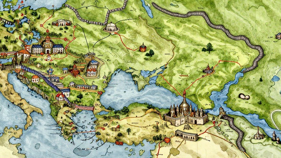
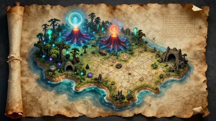
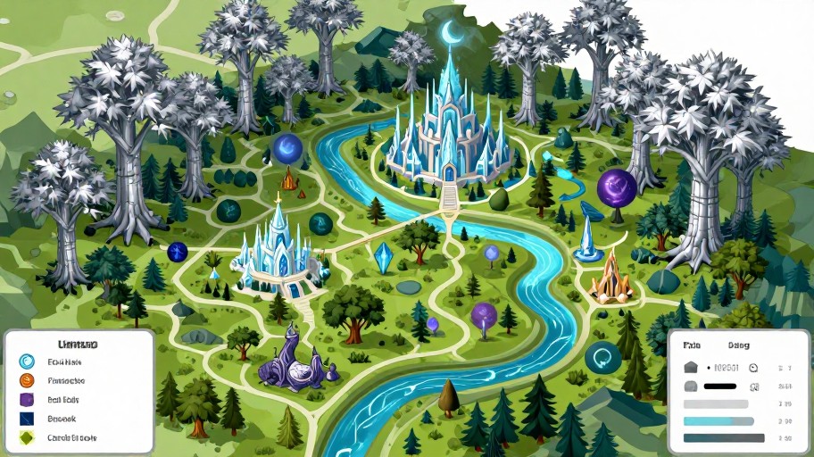
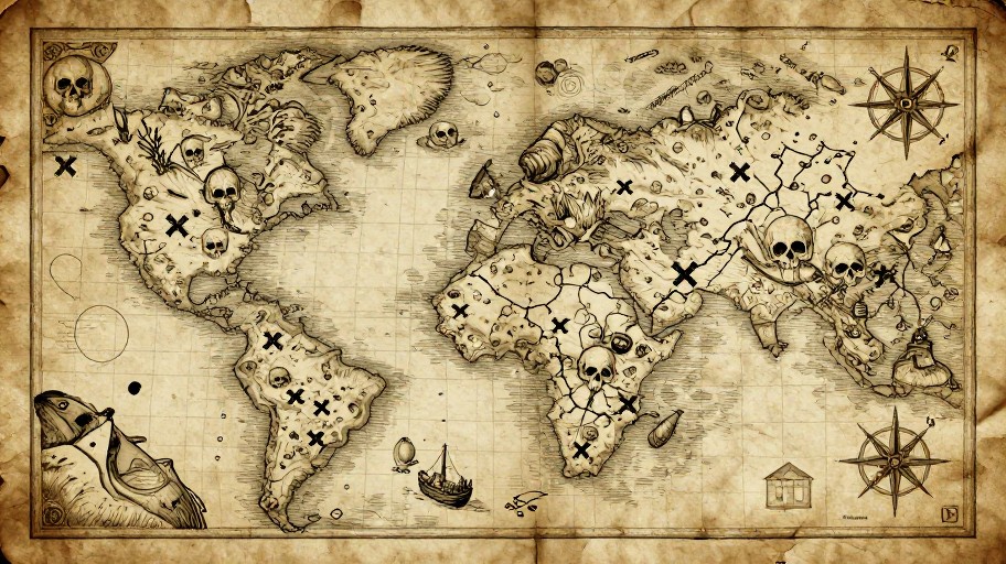
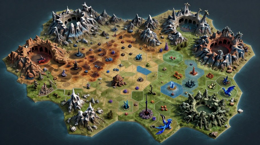
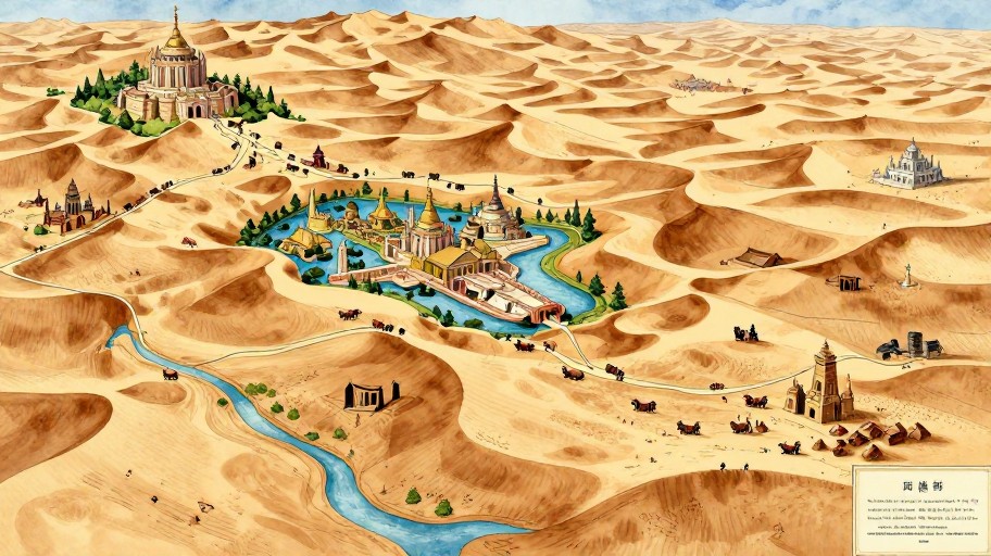
Fantasy Map Generator Ai Examples
See what others have created
How to Get Started
Simple steps to create amazing results
Describe Your World
Enter your map preferences - choose terrain types, climate zones, continent shapes, and the style you envision for your fantasy realm.
Customize & Refine
Adjust AI-generated details like mountains, rivers, forests, cities, and borders. Fine-tune colors, labels, and artistic style to match your vision.
Download & Adventure
Export your custom fantasy map in high resolution. Use it for D&D campaigns, novels, games, or any creative project you have in mind.
Main Features
Powerful capabilities at your fingertips
AI-Powered Creation
Advanced algorithms generate detailed, realistic fantasy maps with continents, terrain, and geographical features in seconds.
Customizable Styles
Choose from vintage parchment, modern digital, hand-drawn, or artistic styles. Adjust colors, fonts, and visual elements to match your aesthetic.
D&D Campaign Ready
Perfect for tabletop RPGs with region labels, scale markers, compass roses, and custom legend elements for your world-building needs.
High-Resolution Export
Download your maps in multiple formats and resolutions, ready for printing, digital use, or sharing with your gaming group.
Detailed Terrain Options
Generate realistic landscapes with mountains, rivers, forests, deserts, oceans, and more. Control density and placement of geographical features.
Unlimited Iterations
Create as many maps as you need. Experiment with different configurations until you find the perfect world for your story or campaign.
Frequently Asked Questions
Everything you need to know
How does the AI map generator work?
Can I use the map generator for free?
What types of maps can I create?
Can I customize the maps after generation?
What file formats can I download?
Can I use these maps commercially?
Ready to Build Your Fantasy World?
Create stunning, detailed fantasy maps in seconds with AI. Perfect for D&D, novels, games, and world-building.